
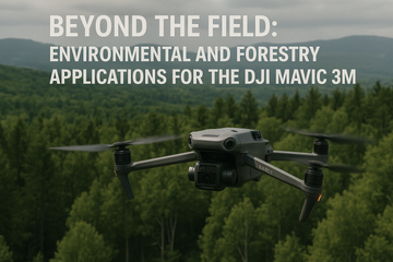
The DJI Mavic 3 Multispectral (Mavic 3M) isn’t just for agriculture—it’s a versatile tool transforming how we monitor and protect our natural world. From environmental monitoring to forestry management, its ability to capture both RGB and multispectral data makes it invaluable for professionals working beyond the field.
Monitoring Forest Health
Forests are complex ecosystems that require constant monitoring to maintain biodiversity and productivity. The Mavic 3M’s multispectral camera can reveal subtle changes in canopy health by detecting variations in chlorophyll content. Forestry teams can identify stressed areas before they become hotspots for disease or pests, allowing for timely interventions.
Tracking Deforestation and Land Use
Illegal logging and land-use changes are difficult to detect in real time with traditional ground-based inspections. With its RTK accuracy and rapid deployment, the Mavic 3M enables surveyors to quickly map large tracts of land, creating land use mapping datasets that track deforestation, urban sprawl, or reforestation progress with precision.
Urban Green Space Assessment
City planners and environmental engineers can use the Mavic 3M to assess the health of urban green spaces such as parks, tree-lined streets, and rooftop gardens. Multispectral analysis helps determine plant vitality, guiding irrigation strategies and ensuring that urban greenery contributes effectively to air quality and cooling.
Natural Disaster Impact Surveys
After wildfires, floods, or storms, rapid assessment of affected areas is critical. The Mavic 3M provides drone surveys that generate up-to-date vegetation and land condition maps. This allows governments and NGOs to prioritize relief efforts, evaluate damage, and plan recovery strategies based on accurate, real-time data.
Natural Resource Management
For conservationists, the Mavic 3M supports natural resource surveys by mapping wetlands, monitoring wildlife habitats, and assessing soil and water conditions. Its repeatable missions provide consistent data to track changes across seasons and years, building long-term environmental baselines.
#SpeedyDrone #DJI #EnvironmentalMonitoring #ForestryManagement #DroneSurveys #LandUseMapping #NaturalResourceManagement