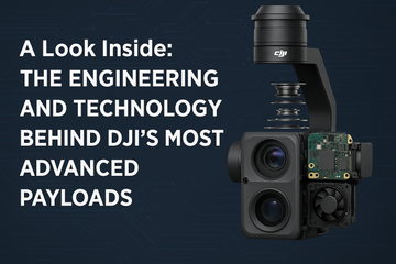

Introduction
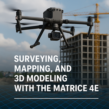
Surveying and mapping demand accuracy, consistency, and efficiency. The DJI Matrice 4E was designed with these requirements at its core. Unlike the Matrice 4T, which focuses on thermal imaging and public safety, the 4E shines in geospatial workflows. Its mechanical shutter, RTK compatibility, and new Smart 3D Capture feature make it a powerhouse for professionals in surveying, construction, mining, and urban planning.
Key Features for Geospatial Professionals
1. Mechanical Shutter for Distortion-Free Imaging
-
The Matrice 4E’s 20MP 4/3 CMOS wide-angle camera features a mechanical shutter.
-
Eliminates “rolling shutter” distortion, ensuring pinpoint-accurate aerial mapping.
-
Enables high-speed capture at 0.5-second intervals, perfect for covering large survey areas quickly.
2. RTK-Level Accuracy
-
Real-Time Kinematic (RTK) positioning allows centimeter-level precision.
-
Ensures accurate georeferencing for survey maps and 3D models without relying solely on ground control points.
-
Reduces rework and accelerates project delivery in industries where precision equals profit.
3. Smart 3D Capture for Complex Structures
-
A new AI-driven Smart 3D Capture mode dynamically adjusts camera angle during flight.
-
Captures vertical and oblique imagery for more complete modeling of bridges, towers, urban environments, and heritage sites.
-
Simplifies workflows for creating digital twins and BIM (Building Information Modeling) assets.
Real-World Applications
Construction & Infrastructure
-
Generate accurate topographic surveys for planning.
-
Create 3D models for progress monitoring and stakeholder presentations.
-
Support BIM with real-time updates from drone-captured data.
Mining & Quarrying
-
Produce detailed volumetric calculations for stockpiles.
-
Improve safety by surveying hazardous zones remotely.
-
Reduce downtime by completing surveys in hours instead of days.
Land Surveying & Urban Planning
-
Capture precise ortho-mosaics for large parcels of land.
-
Enable city planners to integrate real-world 3D data into development models.
-
Provide survey-grade deliverables without heavy reliance on manned aircraft.
Why the Matrice 4E is a Game-Changer
Unlike general-purpose drones, the Matrice 4E combines:
-
Mechanical shutter imaging for survey accuracy.
-
RTK positioning for centimeter-level precision.
-
Smart 3D Capture to simplify modeling of complex, vertical structures.
This makes it one of the most cost-effective, efficient, and precise solutions for geospatial professionals who need reliable results fast.
Conclusion
For surveying, mapping, and 3D modeling, the DJI Matrice 4E is purpose-built to deliver professional-grade results. From construction to mining and urban planning, its blend of high-speed imaging, RTK accuracy, and Smart 3D Capture ensures professionals can move from data collection to actionable insights faster than ever.
#Matrice4E #DJIEnterprise #MappingDrones #Surveying #3DModeling #GeospatialTech #AerialMapping #Smart3DCapture #ConstructionTech #MiningInnovation