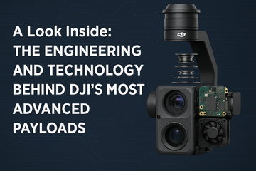

Introduction
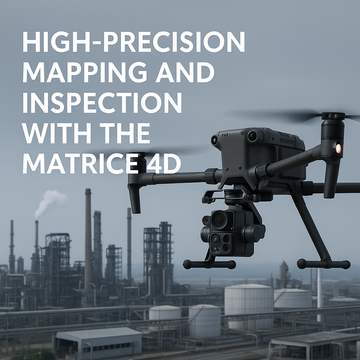
Geospatial professionals and infrastructure managers need tools that provide accurate, consistent, and actionable data. The DJI Matrice 4D Series combines cutting-edge imaging hardware with intelligent capture modes to set a new standard in aerial surveying and inspection. From high-resolution mapping to detailed infrastructure assessments, the Matrice 4D’s technology ensures every mission delivers reliable results.
The Camera Suite: Clarity at Every Angle
-
Wide-Angle Camera: Captures expansive, distortion-free images for mapping large areas.
-
Telephoto Cameras: Provide close-up detail without risking collision by flying too close.
-
Thermal Option (4TD variant): Adds temperature anomaly detection for infrastructure and energy inspections.
👉 Together, these sensors create a multi-perspective dataset ideal for both mapping and diagnostics.
Laser Rangefinder: Accuracy at Long Range
-
Measures distances up to 1.8 km with ±0.2m accuracy.
-
Essential for power line inspections, bridge monitoring, and tower measurements.
-
Ensures accurate georeferencing of aerial images, improving 3D modeling outputs.
5-Direction Oblique Photography: Smarter 3D Modeling
-
Captures imagery from five angles (nadir + 4 obliques) in one mission.
-
Produces highly accurate 3D models and digital twins of urban areas, construction sites, and complex infrastructure.
-
Reduces the need for repeated flights, saving time and battery cycles.
👉 Example: A city planner can generate a realistic 3D model of an entire block in one mission for urban development projects.
Applications in Mapping and Inspection
1. Geospatial Surveying
-
Generate orthomosaics and 3D terrain models with survey-grade precision.
-
Reduce fieldwork costs by covering hundreds of acres per flight.
2. Infrastructure Inspections
-
Monitor bridges, railways, pipelines, and towers.
-
Telephoto + oblique photography provide detailed views while maintaining safe standoff distances.
3. Construction & Urban Development
-
Document progress monitoring with repeatable oblique captures.
-
Create BIM-compatible 3D datasets for planners, engineers, and architects.
4. Renewable Energy Sites
-
Inspect solar farms with high-resolution RGB and thermal imaging.
-
Monitor wind turbines from multiple angles without risky manual climbs.
Why Precision Matters
-
Better Decision-Making: Accurate data reduces errors in planning and inspections.
-
Efficiency: Intelligent capture modes cut down on time and resources.
-
Safety: Drones reduce the need for workers to access hazardous environments.
-
Scalability: Supports enterprise-level projects with repeatable workflows and consistent results.
Conclusion
The DJI Matrice 4D Series is more than just a drone—it’s a precision data collection platform. With its high-resolution cameras, laser rangefinder, and advanced oblique photography, it delivers survey-grade accuracy and detailed inspection insights. For professionals in geospatial mapping, infrastructure management, and construction, the Matrice 4D sets a new benchmark in efficiency and reliability.
#DJIMatrice4D #HighPrecisionMapping #DroneSurveying #GeospatialTech #InfrastructureInspection #3DModeling #DigitalTwins #DroneTechnology #DJIEnterprise #AerialMapping